Events at the DSI
The DSI events programme is a cornerstone of our strategy to convene, catalyse and communicate LSE’s world-leading activity in data science and AI. We bring together leading experts to speak in a wide range of events – spanning public lectures, research seminars and student activities – to inspire our community.
Upcoming DSI events
Explore our programme of events for students, researchers and public audiences
Explore DSI events
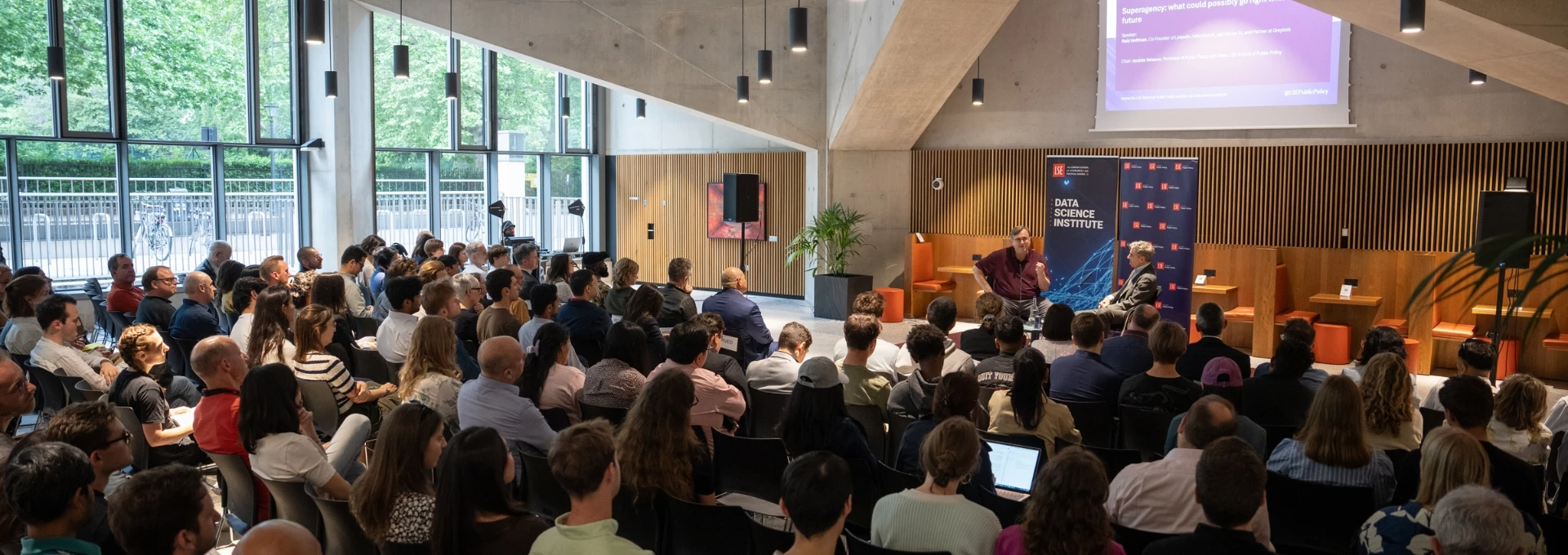
Public events
DSI public events feature world-class research and opinion to help drive an informed public conversation around key topics at the intersection of AI, data science and the social sciences

Research events
The DSI hosts a range of research events for affiliates and the wider LSE research community including research seminars, research showcases, lectures from visiting fellows and more

Student events
DSI student events offer students from a wide range of departments the chance to connect with each other and learn about the practical applications of data science across industry

Past event highlights
Public events about AI and data science at LSE
Visit our event playlist to find recordings of AI and data science public events organised by the DSI and other departments and centres across LSE

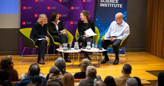
Event recording | Invisible inputs, gender bias in AI systems
Hear from leading researchers and policymakers as they unpack the consequences of biased inputs and explore what it takes to build AI that truly serves everyone.
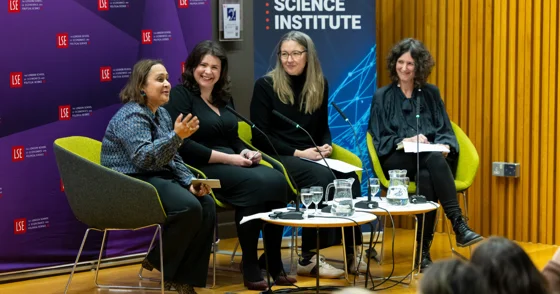
Event recording | AI, technology and society
The panel discuss how their work at the intersection of AI and the social sciences can help ensure AI serves the greater good