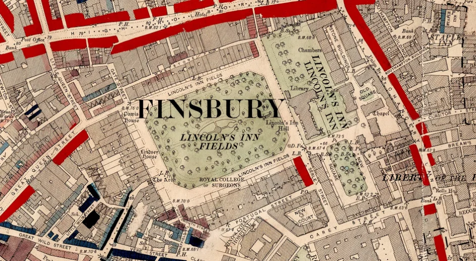

How these 19th-century maps changed poverty in London.
Friday 23 October 2026
Writing in the Big Issue, LSE Cities Distinguished Policy Fellow Ben Rogers traces how Charles Booth’s colour-coded maps revealed the scale of poverty in Victorian London, work that helped pave the way for free school meals and old age pensions. Now that we have more data than Booth could ever have dreamed of, Ben asks why the capital’s housing crisis persists.
Click here to read the full article